
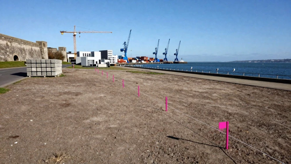
Land Surveys
Get in TouchAt Southampton Surveys, we specialise in providing comprehensive land surveys tailored to meet various project needs . Our surveys are essential for accurate site analysis, supporting planning applications, and ensuring precise development.
We use advanced technology and equipment such as total stations, GPS systems, and laser scanners to deliver precise measurements and mapping data. Our services benefit property developers, architects, and construction firms.
Contact us today to arrange a professional land survey.
How Much Does a Land Survey Cost?
Land surveys typically start at around £500, depending on the complexity and size of the site. Factors influencing the cost include the type of survey required, site accessibility, and the level of detail needed.
For example, a topographical survey may require more detailed equipment, such as a total station or GPS receivers, which can increase costs. Larger sites or those with unique features, like heritage structures or significant elevations, may incur higher costs due to additional surveying time and resources.
We also consider the need for any specialised surveys, such as boundary or utility surveys, which require distinct methodologies and equipment. Our team adheres to national standards set by the Royal Institution of Chartered Surveyors (RICS), ensuring accuracy and reliability in every project.
We offer competitive pricing and detailed quotes to suit your specific survey needs. Get in touch with Southampton Surveys for an accurate estimate.
What Types of Land Surveys Are Available?
We offer a range of land surveys to cater to varied client requirements:
Topographical Surveys: Provide detailed data about natural and man-made features, such as elevation changes, trees, and buildings. Our surveys meet RICS standards, using total stations and GNSS technology for precision mapping.
Boundary Surveys: Define exact property lines and identify encroachments or easements. These surveys are crucial for legal documentation and property dispute resolution, employing specialist software like AutoCAD for accurate plotting.
As-Built Surveys: Document current conditions of structures and improvements on a property. This service is essential for ensuring compliance with planning permission and helps architects compare the constructed site against the original plans.
Flood Risk Assessments: Evaluate potential flood risks for development planning. We analyse historical flood data and hydrological models to help secure insurance and identify areas requiring flood mitigation measures.
Each survey type is tailored to ensure you receive the information necessary for your project, supporting informed decision-making and regulatory compliance. Contact us to discuss your specific surveying needs.
Speak to a Land Surveys Expert
How Long Does a Land Survey Take?
The duration of a land survey varies based on the site's size and complexity but typically ranges from one to three days. For straightforward projects, such as boundary surveys on smaller plots, we can complete the fieldwork efficiently.
However, larger surveys, like topographic or construction surveys, may require more intensive data collection using equipment such as total stations and GPS receivers. Our experienced team ensures efficiency without compromising quality, adhering to project timelines.
After the fieldwork, processing the data and preparing detailed reports take an additional three to five days, depending on the survey type. This involves using computer-aided design (CAD) software to create precise maps and ensure compliance with relevant standards such as RICS guidelines.
Before finalising, we verify every detail to offer a reliable representation of the surveyed site for our clients.
What Are the Benefits of Land Surveys?
Land surveys provide essential insights for construction and development projects. Our surveys use advanced technology, such as GPS equipment and laser scanners, to achieve precise measurements.
Our team follows the Royal Institution of Chartered Surveyors (RICS) standards, ensuring all surveys are conducted with accuracy.
Accurate Planning: Identify property boundaries and site features, including utilities and topography, that can impact design and layout.
Regulatory Compliance: Ensure adherence to local laws and regulations, preventing potential legal challenges or project delays.
Risk Identification: Recognise potential issues, such as flood risks and soil stability, that could affect a project.
Cost Efficiency: Minimise unexpected expenses by understanding the site thoroughly, aiding in budget management and resource allocation.
A detailed land survey equips you with critical information for successful project planning, helping you to optimise your investment and ensure smooth project execution.
Why Choose Southampton Surveys for Land Surveys?
At Southampton Surveys, we distinguish ourselves through our commitment to precision and client satisfaction. Our experienced surveyors employ the latest equipment, like robotic total stations and GNSS (Global Navigation Satellite System) technology, to ensure accurate data collection.
We cover various types of projects, ranging from small residential properties to large commercial developments. Our detailed topographical surveys help clients identify elevation changes and natural features, crucial for architects and builders.
We deliver comprehensive reports adhering to the RICS (Royal Institution of Chartered Surveyors) standards, ensuring that all legal and construction requirements are met. Our hydrographic surveys are designed to assist in waterfront development and flood risk analysis by accurately mapping underwater terrains.
We support you throughout the planning and development process with regular updates and consultations. Our attention to quality and detail makes us a trusted partner for land surveys.
Frequently Asked Questions
What is included in the price of a land survey?
A typical land survey includes data collection, analysis, and a detailed report. Extra services, such as additional site visits or specific assessments, may incur additional costs, depending on your needs.
How do I prepare for a land survey?
Ensure the site is accessible and free from obstructions. Clearly marking site boundaries can facilitate the surveying process.
What is the importance of boundary surveys?
Boundary surveys are critical for determining legal property boundaries. They help prevent disputes and ensure compliance with planning regulations.
Can land surveys be done in any weather?
While we aim to conduct surveys promptly, extreme weather conditions can affect the accuracy of the data collected. We schedule surveys to ensure optimal conditions for measurements.
Get a Free Quote for Land Surveys
For reliable land surveys , trust Southampton Surveys today.