
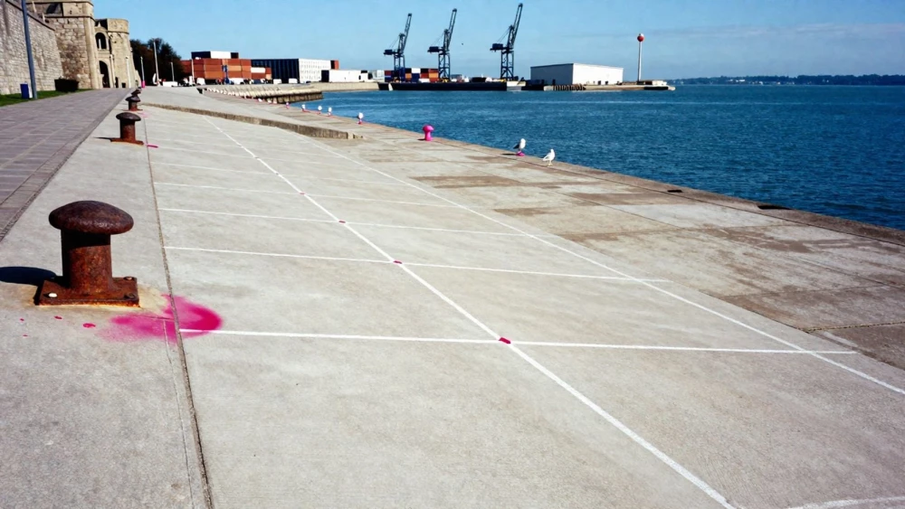
GPR Surveys
Get in TouchAt Southampton Surveys, we specialise in GPR surveys . GPR, or Ground Penetrating Radar, is a non-destructive method used to detect and map subsurface features.
Our surveys are ideal for identifying underground utilities, structural elements, and geological formations. We use advanced radar technology to provide accurate and detailed reports for a wide range of construction, engineering, and archaeological projects.
Contact our team today to schedule a consultation and ensure your project goes smoothly.
How Much Does a GPR Survey Cost?
GPR surveys typically cost between £1,000 and £3,000, with the final price influenced by factors such as the survey area's size and complexity. We employ radar equipment like band-pass filters and impulse radars, which adapt to varying soil conditions and depths, providing precise data.
Site conditions, including subsurface moisture content and material types, can affect the survey's complexity and thus the cost. Our service includes a full assessment and a detailed, high-resolution report, often aligned with standards like PAS 128 for utility surveys.
Additionally, for larger, intricate sites, we might require advanced processing software, adding to the overall price. We provide clear pricing and potential extra costs at the quotation stage.
Get in touch with us to receive a tailored quote for your project.
What Are the Benefits of GPR Surveys?
At Southampton Surveys, we believe there are significant benefits to using GPR surveys. Ground Penetrating Radar (GPR) surveys are an invaluable tool for projects requiring detailed insights into subsurface conditions.
By employing electromagnetic waves, GPR allows us to detect and map structures such as pipes, cables, and voids without disturbing the ground surface.
Non-Destructive: Prevents unnecessary excavation by accurately identifying subsurface features. This method is crucial for construction sites where maintaining structural integrity is essential.
Versatile: Suitable for various applications, including utility detection, archaeological exploration, and environmental assessments. Whether you're investigating historical sites or planning new infrastructure, GPR surveys provide essential data.
Accurate: Provides high-resolution results for better project planning. Our equipment can penetrate depths of up to several metres, ensuring comprehensive assessments that comply with BS5930 standards.
Cost-Effective: Reduces the risk of unexpected issues during construction. By identifying potential hazards early, projects can minimise delays and additional costs.
Call us today to discuss how a GPR survey can benefit your project.
How Do GPR Surveys Work?
GPR surveys work through several steps:
Site Assessment: Our team evaluates the site conditions and objectives, considering factors such as soil type, moisture content, and any known obstacles or underground features.
Data Collection: We use radar equipment such as the SIR 4000 system to transmit electromagnetic signals into the ground. These signals penetrate varying depths depending on the material, typically reaching up to 10 metres.
Analysis: The radar reflects back from subsurface structures, which we record and interpret using specialised software like RADAN to identify pipelines, voids, and utilities. This analysis requires distinguishing between different reflected waveforms to map the subsurface accurately.
Reporting: We provide a report of our findings, including visual maps and 3D models, aligned with standards like PAS 128 for utility detection.
Our experienced surveyors ensure the process is efficient and detailed, minimising disruption to ongoing activities at construction or renovation sites. If you need precise subsurface information, contact us for a consultation.
Why Choose Southampton Surveys for GPR Surveys?
Choosing Southampton Surveys for your GPR surveys ensures you receive professional service backed by our expertise and dedication. We use ground-penetrating radar (GPR) technology equipped with dual-frequency antennas to scan sub-surfaces, identifying utilities, voids, and reinforcement details.
Our experience spans sectors from construction and civil engineering to archaeology and environmental services, allowing us to approach each project with insight and precision.
We provide comprehensive reports with high-resolution imagery and depth measurements to facilitate informed decision-making for project planning. Our reports not only highlight potential underground hazards but also comply with industry standards such as PAS 128 and BS EN 302066.
Our team remains committed to delivering results tailored to your project's specific needs, ensuring a safe and efficient work environment.
Contact us today to find out more about our services.
Frequently Asked Questions
How long does a GPR survey take?
A typical GPR survey can take a few hours to a full day, depending on the size and complexity of the area.
What is included in the price of a GPR survey?
The price of a GPR survey includes site assessment, data collection, analysis, and a detailed report with recommendations.
How do I maintain my survey data?
We recommend storing survey data in a secure digital format and regularly updating it to reflect any changes on-site.
Can GPR surveys detect water systems?
Yes, GPR surveys are effective in detecting underground water systems and identifying potential blockages or leaks.
Which areas do you cover for GPR surveys?
We operate widely, performing GPR surveys.
Get a Free Quote for GPR Surveys
To discuss your project needs and receive a personalised quotation, contact Southampton Surveys today. Our experts are ready to provide you with precise and reliable GPR surveys.